Some roads are older than the towns they serve; others were built to tell a story. Ride them knowing what they were for, and the bends start to read like sentences.
Lead route dossier
From the coast to the Dauphiné
Route Napoléon
On 1 March 1815, Napoleon landed at Golfe-Juan after escaping exile on Elba. Avoiding the royalist Rhône valley, he marched north through the mountains towards Grenoble. In 1932 the road along his line was inaugurated as the Route Napoléon, and it remains marked by flying-eagle emblems, a nod to his promise that the eagle would fly from steeple to steeple.
Two to three, with time in Sisteron and Castellane
Character
Sweeping Alpine-foothill road; busy near the coast
Best months
April–June and September–October
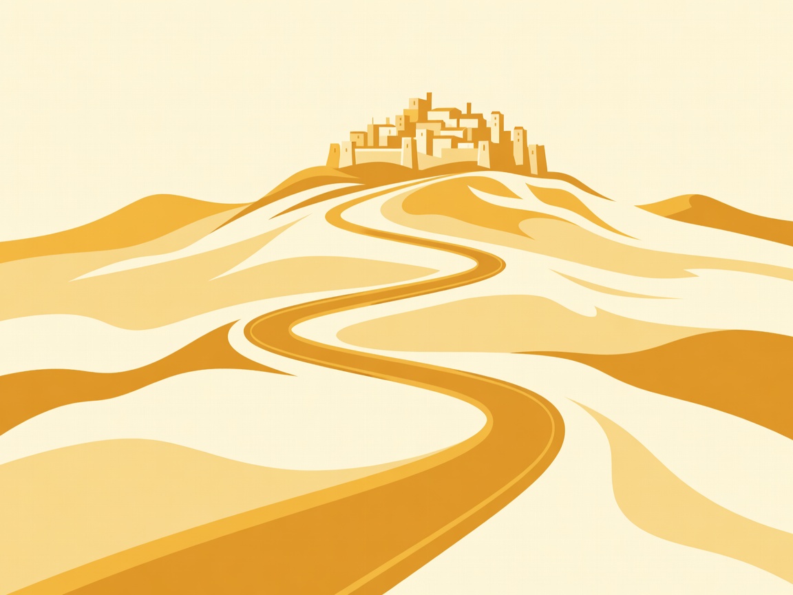
Simplified road ribbon — illustrative, not navigational.
Golfe-JuanA plaque by the harbour marks the landing.
GrassePerfume town; leave the coast traffic behind as the road climbs.
CastellaneNotre-Dame du Roc above town; gateway to the Verdon Gorge.
SisteronThe citadel guards a narrow gap in the Durance valley.
LaffreyThe Prairie de la Rencontre, where troops sent to stop him joined him on 7 March.
GrenobleFinish beneath the Bastille, reached by cable car.
Roads older than engines
Europe’s road network is layered. Roman engineers favoured direct lines and firm ground; medieval drovers and pilgrims added routes between abbeys and markets; 18th-century governments built military roads to move troops; 20th-century planners turned some of these into scenic and memorial routes. Each era leaves clues. Roman lines run boldly straight across open country. Drove roads are wide between hedges. Military roads keep steady gradients for marching columns and wagons.
Recognising the layer you are riding changes the day. A sudden straight across a moor, an old milestone in the verge, a toll house with a projecting window to watch both directions — they are all reasons to pull over.
Stone bridges worth the stop
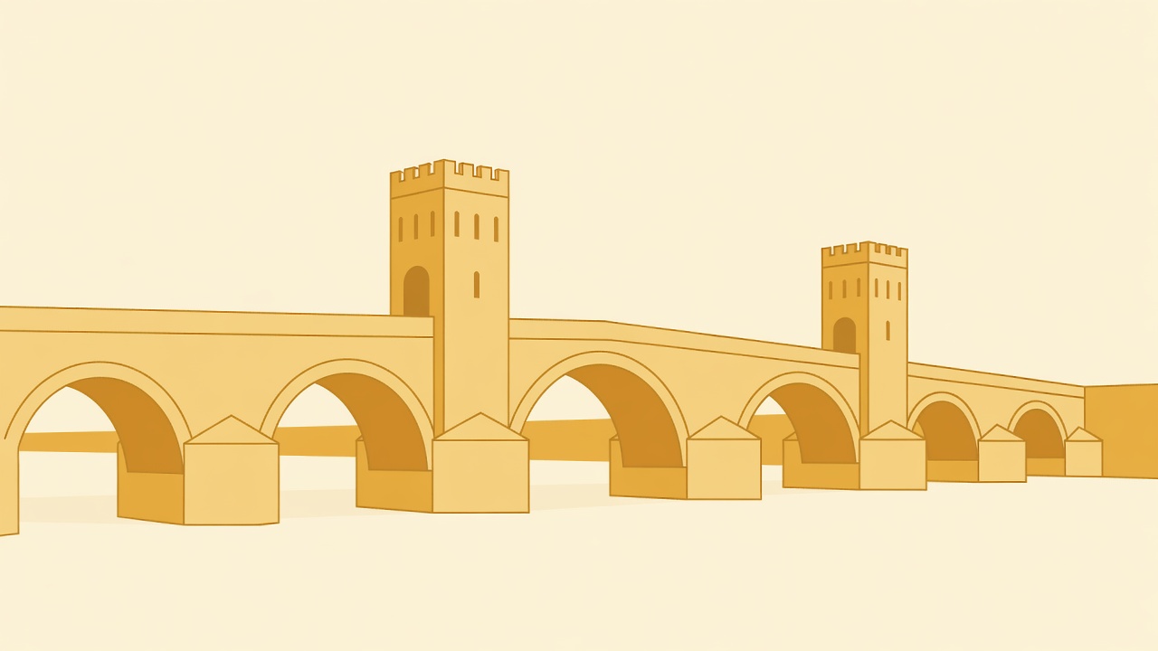
Bridges concentrated money and power, so towns grew around them. Cahors’ Pont Valentré, with its three towers, was built in the 14th century to defend the crossing of the Lot. The Pont du Gard, a Roman aqueduct from the first century AD, is reached by a short walk from the visitor car parks. Mostar’s Stari Most, completed in 1566, destroyed in 1993 and rebuilt in 2004, is a pedestrian bridge: park and cross it on foot.
Bridge elevation, illustrative.
More historic roads
Old Military Road (A93), Scotland
Blairgowrie to Braemar over the Cairnwell Pass, among the highest public roads in Britain, following the line of an 18th-century military road. End at Braemar Castle and the Deeside villages.
56kmMoor
Hardknott and Wrynose Passes, England
A single-track route across the Lake District with gradients close to 1 in 3. Stop at the remains of the Roman fort at Hardknott, guarding the way to the coast.
20kmSteep
Great Ocean Road, Australia
Built between 1919 and 1932 by returned servicemen as a memorial to those killed in the First World War. The Memorial Arch at Eastern View tells the story.
243kmCoast
N222, Douro Valley, Portugal
Peso da Régua to Pinhão along the river that carried port-wine barrels to Porto. Pinhão’s railway station is tiled with scenes of the harvest.
27kmRiver
Riding old alignments with respect
Historic roads were not designed for modern speeds. They narrow without warning, crest blind summits and carry livestock, farm machinery and walkers. On single-track roads, use passing places to let others by, and stop on the side of the passing place rather than the opposite verge. Gravel collects at the foot of steep gradients, and old stone walls leave no run-off. Ride at a pace that lets you stop within the distance you can see.
We use cookies Essential cookies keep this site working. Optional ones help us see what is useful. You can change your choice at any time. More about cookies